
 Explore the Digital Coast work
Environmental Data · 2017-2023
Marine Cadastre
Many datasets. One planning surface.
NOAA / Lynker
Project Lead
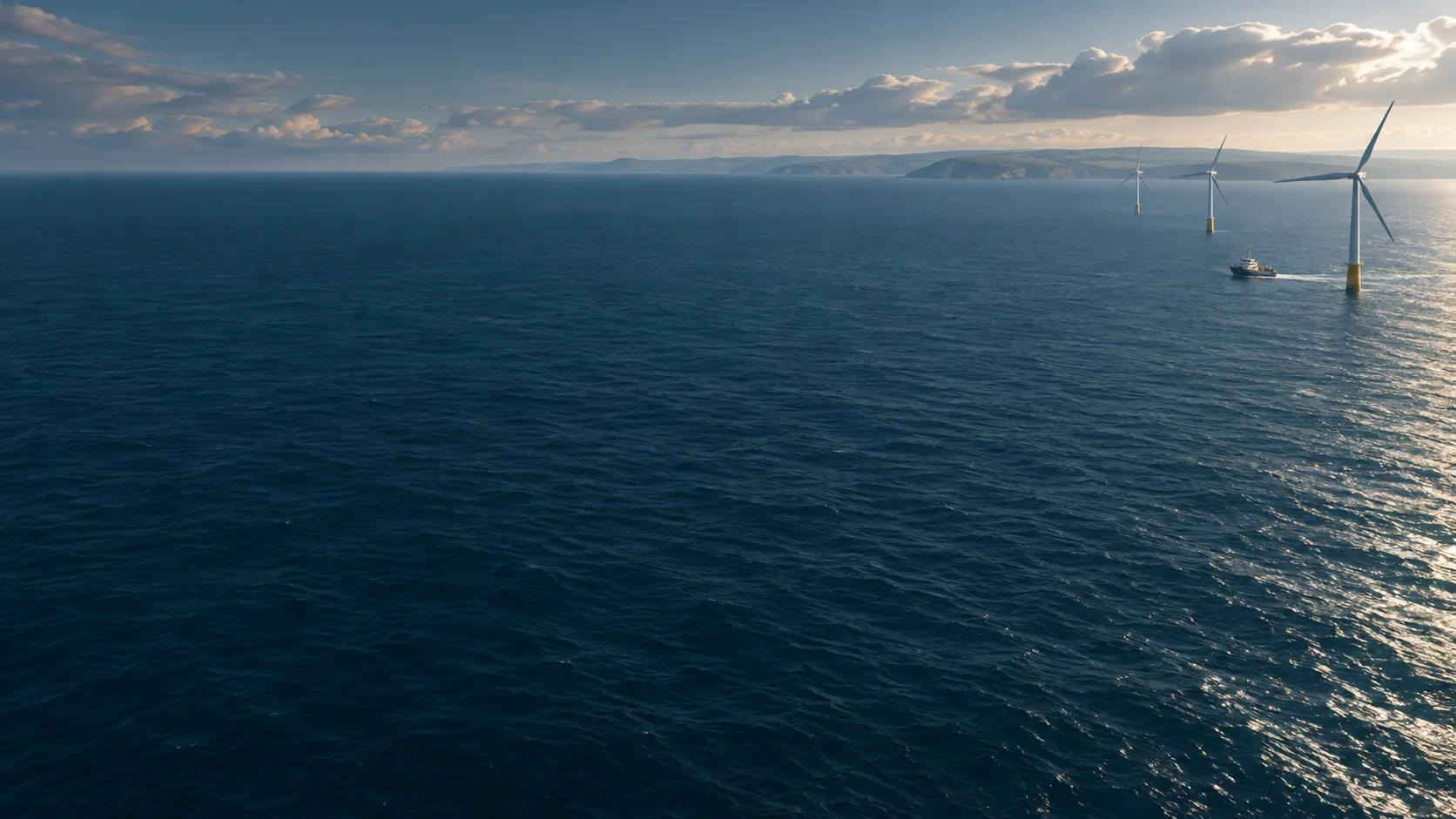
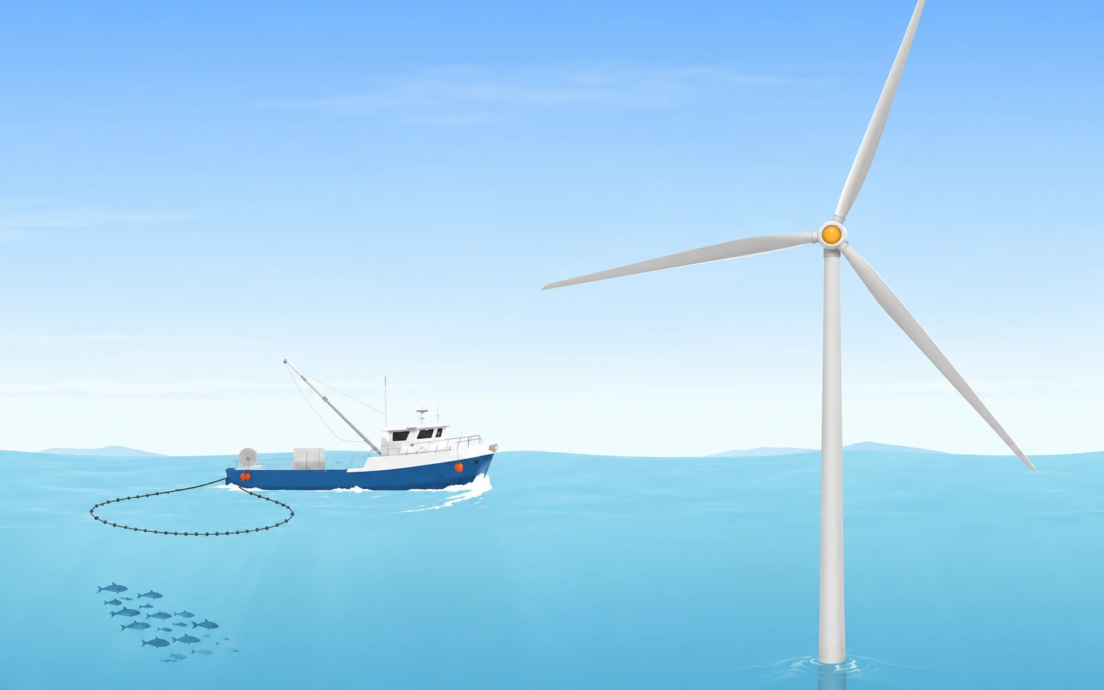
A joint BOEM and NOAA initiative providing authoritative data to meet the needs of the offshore energy and marine planning communities.
Overview
Planners, energy developers, and environmental analysts needed a way to explore marine spatial data in one place. The viewer brought those datasets together to support offshore planning decisions.
My contribution
I clarified requirements with stakeholders, planned data integration, and shaped the UX structure for the public-facing viewer. The viewer needed to serve planners, energy developers, and environmental analysts navigating offshore information.
Outcomes
Supporting nationwide offshore energy and conservation decisions
Technology & methods
GIS · Azure · Data Integration · Mapping